SoilEO
remote soil mapping using hyperspectral data
What is SoilEO?
SoilEO is a remote and high-resolution mapping service of your field in the context of soil nutrients: magnesium (Mg), potassium (K2O), phosphorus (P2O5), and pH.
However, instead of analyzing your soil samples in a laboratory, it consumes airborne and satellite data to generate the same piece of information, thus – no labor work is needed nor extracting soil samples in a low-resolution manner.
Know your soil and make better decisions on fertilizing.
Why?
We know that new technologies can reduce mineral fertilizers usage on your field to protect the soil and environment. And… yes, generate some savings too.
How it works?
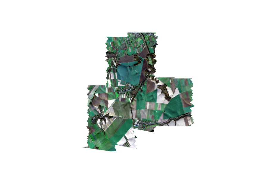
By applying modern algorithms and analysing airborn or satellite specialized hypersctral images of your field. From that, we extract information about macroelements levels in your soil. Yes, we know it soundsl ike science-fiction, but it actually works.
What you will get?
You will get a map of your field with the information about macroelements levels in it: magnesium (Mg), potassium (K2O), phosphorus (P2O5) and pH. Exactly the same map as if you would get from your soil sampling service and chemical analysis. But in our case – no laboratory nor soil sampling needed.
How it works? It's simple!
As you can see, only two steps require your input. The rest is handled by SOILEO!
01.
Order your map (you)
By selecting your field in an easy step like dropping a pin on a map.
02.
Acquire hyper-spectral images of your field (us)
We take care of acquiring hyper-spectral images of your field, depending on the clouds: it is either satellite image or airborne service.
03.
Analyse the data with SoilEO algorithm (us)
We run a series of sophisticated analytics with our own algorithms and models to generate valuable piece of information for you. We use AI techniques, thus it is fast as well as accurate.
04.
Generate your map (us)
A visual representation of macroelements content in your field as well as digital table-based form, so you can easily create a shapefile for your tractor and automate the fertilizing process.
05.
Optimize your fertilizing process (you)
With the knowledge about macroelements, adjust and plan fertilizing of your field for your next crop. And make it more cost-efficient with high-resolution maps.